


Master of Geospatial Intelligence

Course Qualification
Master

Study Period
2 Years

Study Mode
Full Time

Intakes
February, July

Estimate Fee
RM3,950
Course Overview
This course equips students with essential skills to manage spatial data and interpret remotely sensed imagery to generate valuable insights. It combines core units in geographic information systems (GIS) and remote sensing with practical training in map design, landform and habitat mapping, data handling, coding, drone applications, photogrammetry, and visualization—offering comprehensive exposure to critical areas in the field. Real-world case studies explore location-based challenges across sectors like biodiversity, agriculture, urban development, mining, defence, and emergency response. Designed for beginners, professionals seeking to upskill, and career switchers, this course is ideal for anyone working with geospatial data and aiming to deepen their expertise. Upon successful completion, students can advance to the graduate diploma and eventually pursue a master’s degree.
Entry Requirements
Review the academic qualifications, grades, and additional criteria needed for admission to this program.

SPM
Minimum 5 credits including Mathematics (C) & English (C)


STPM
Minimum CGPA 3.00 including Mathematics T (C)


DIPLOMA
Minimum CGPA 3.00 including Mathematics T (C)


A-LEVEL
Minimum CGPA 3.00 including Mathematics T (C)


O-LEVEL
Minimum CGPA 3.00 including Mathematics T (C)
ADDITIONAL REQUIREMENTS
- MUET Band 3 or above
- IELTS Overall 6.0 or above
- Has at least one industry level certification in Engineering
Entry Requirement
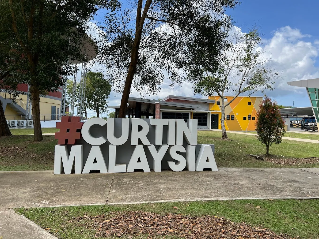
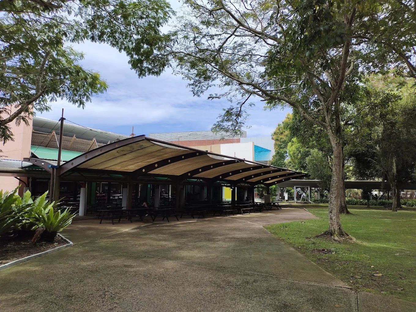
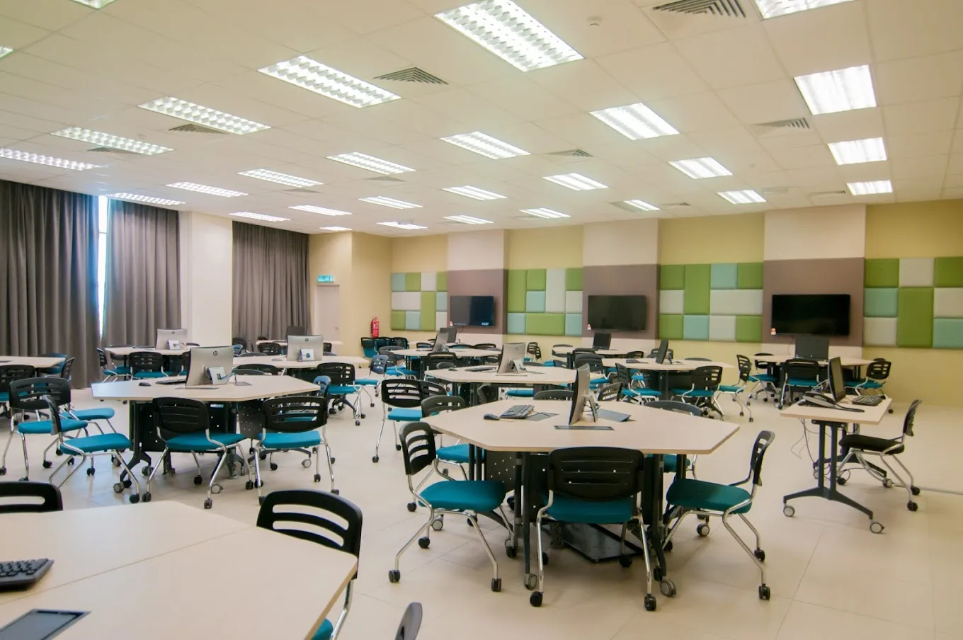
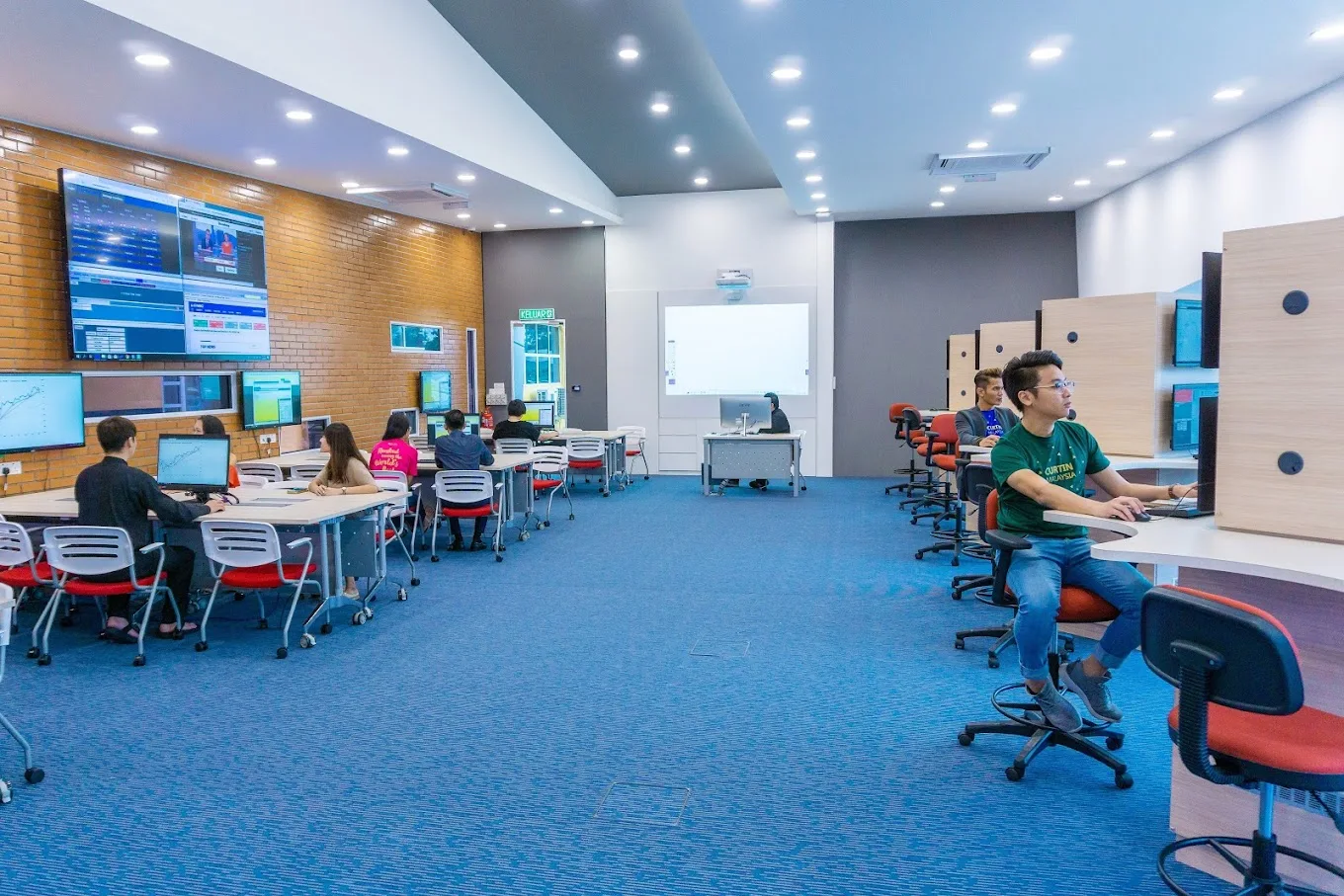
About this School

.webp)

Other Courses from This University
Explore all diploma, degree, and postgraduate programs available at this institution.

Courses You Might Be Interested
Explore similar diploma, degree, and postgraduate programs that you matches your interest.